
It’s been on my list for some time to increase the font size when you’re typing in comments. It’s now fixed, and the font is larger.
-
The weather in my neck of the woods has been consistently bad, or at least bad enough, that night take offs and landings (which is my next real-world lesson) have been off the books from a safety perspective whenever we’ve tried to go up. It’s been about three weeks since my last flight, and I realized today that I should be working a bit harder to keep to my aviation studies. So I decided to load up the sim and fly the PilotEdge I-1 rating, which is the ILS 20R arrival into John Wayne / KSNA. I’ve already completed this training, but it was a while ago, and I thought some instrument practice today would be good for the brain.
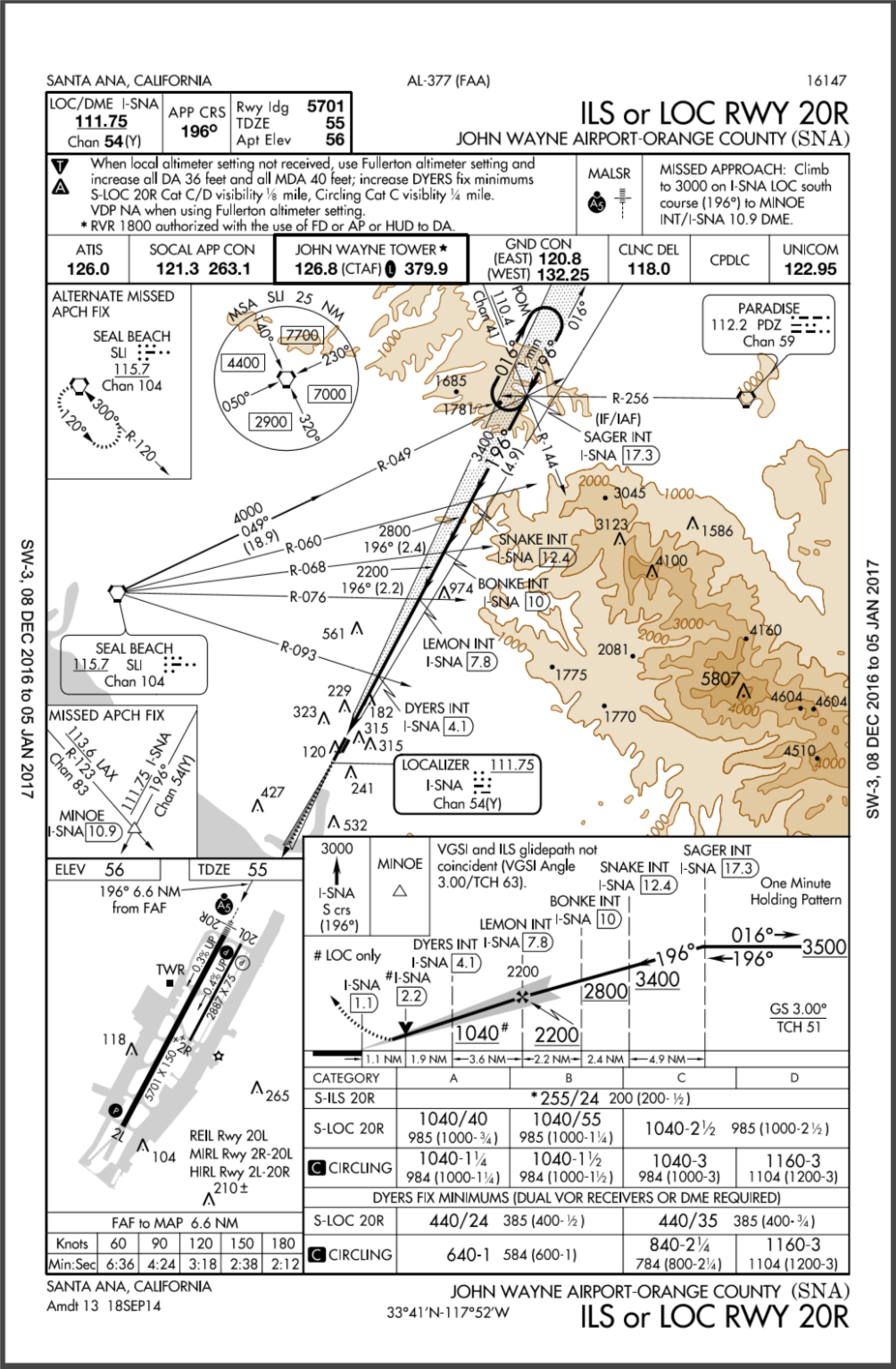
Weather at KSN was VFR with broken clouds around 3,000, so I resolved to take off and then look only at the instruments until I was at 300 feet on final approach (the real-world minimum is 255). Things went fine, I showed up in front of the runway where I was supposed to be, and it felt remarkably like real-world hood work minus the G-forces. So this was good, it felt like practice, and I think I’ll start to pursue the PilotEdge I ratings in earnest as a way of keeping my head in the game until the weather improves. Next up is a short IFR flight from KSNA to KCRQ. Here’s the KSNA 20R ILS procedure for those who are curious.
-
If you’re looking for a good resource of the airports available for X-Plane, one of the best I’ve found is APXP.info. It lists the default and user-generated airports for the entire world, organized by country and on a map. And it’s very current – my sceneries were added within a few hours of my posting them online at X-Plane.org. Very cool.
-
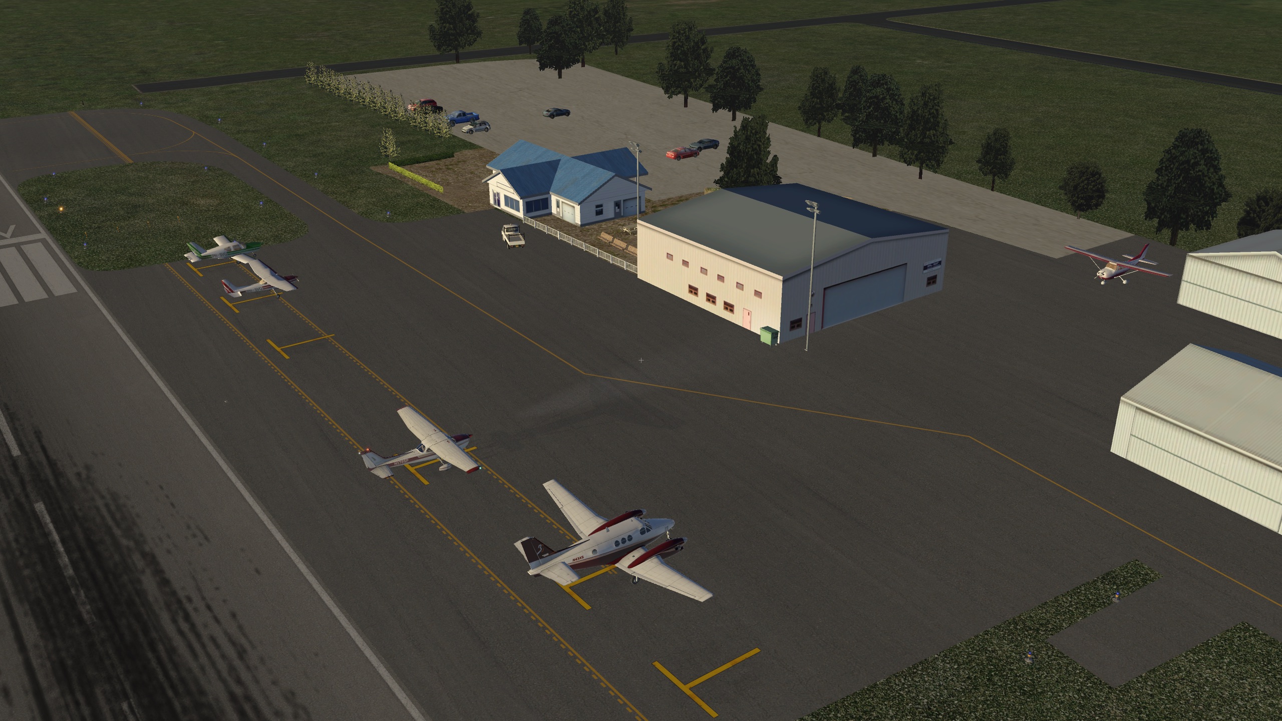
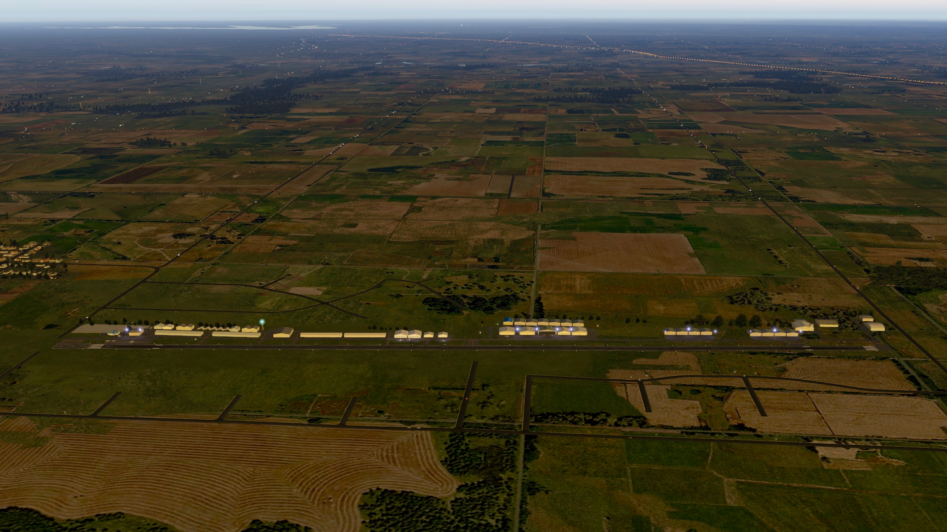
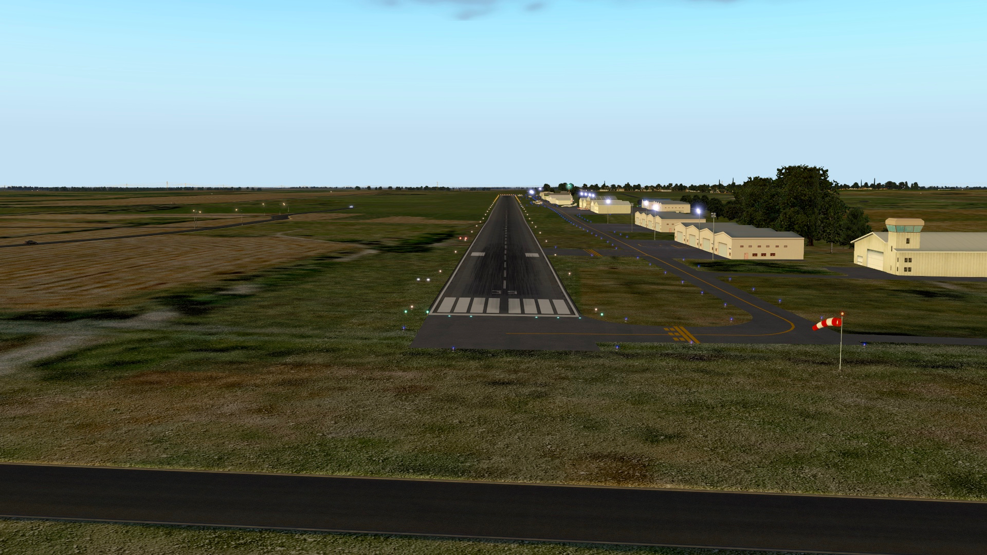
My third scenery design, this is 1K1, Lloyd Stearman Field in Benton, Kansas (formerly known as Benton Park). Named in honor of aviation pioneer Lloyd Stearman and home base to seven Stearman WWII biplanes and various other warbirds. I made this as a request, and hope it’s of interest to those simming in the Wichita environs. This scenery works with X-Plane 10 and 11, and requires:
- OpenSceneryX library
- Prefab Airports library
- MisterX library
Also note that the attached images reflect MisterX HD Airport and World2XP. To install simply download the .ZIP file, uncompress it, and add to your Custom Scenery folder.
I’m still learning my way with this, and am open to any feedback. This airport also took the better part of the day, so I don’t know that I will do many more requests (although I enjoyed doing this field and learned a lot). But as I create new sceneries for airports I sim at, I’ll continue to upload them here. Thanks.
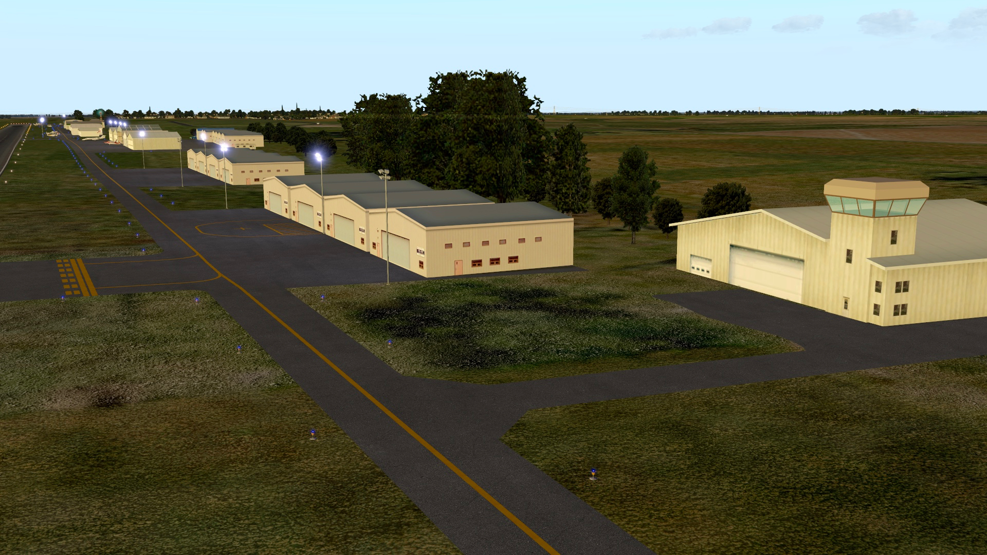
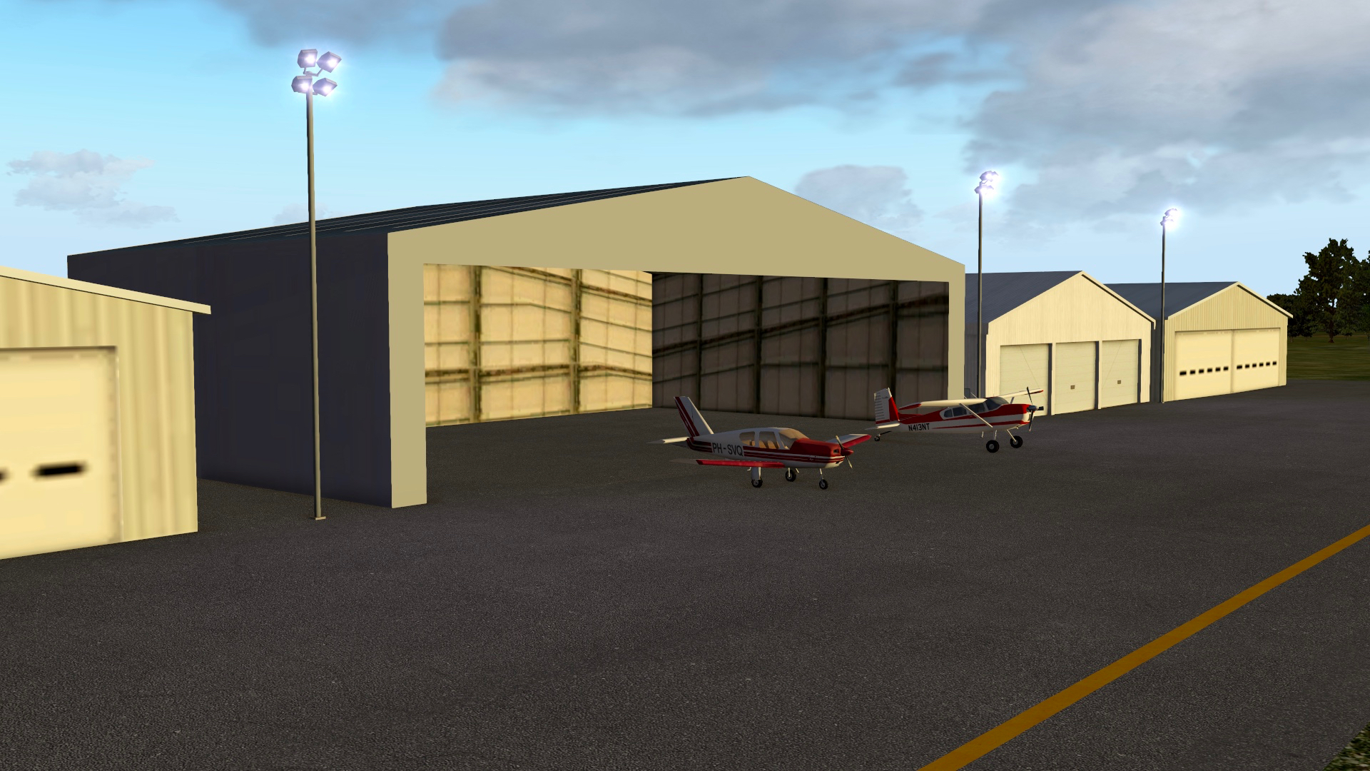
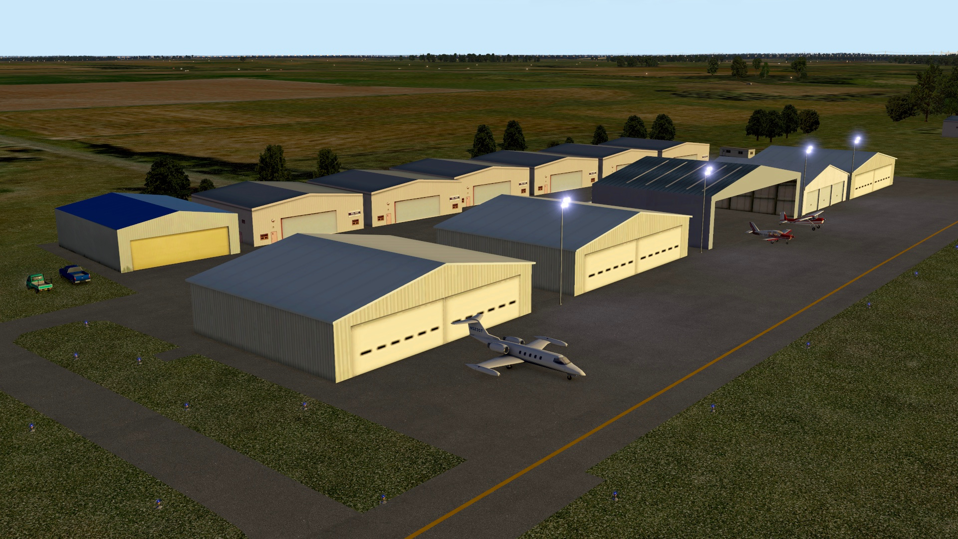
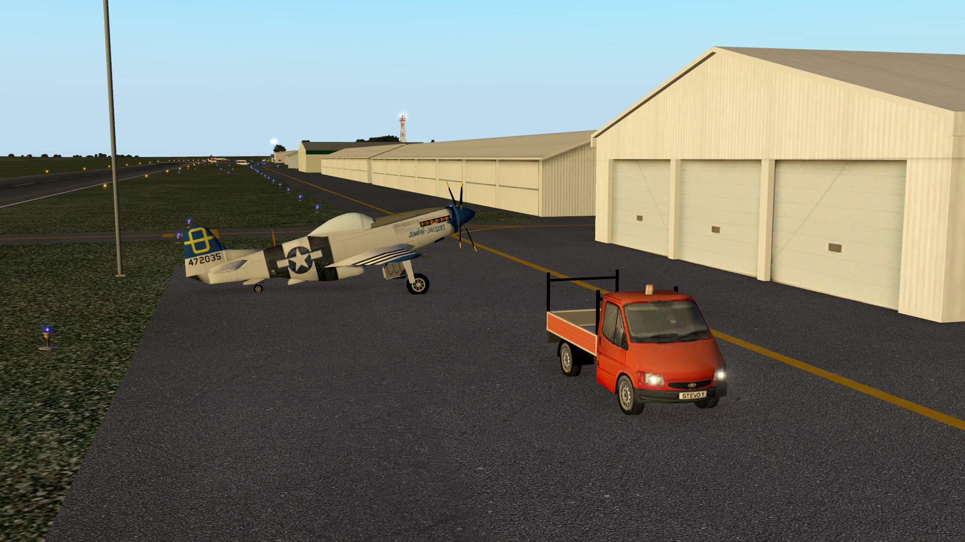
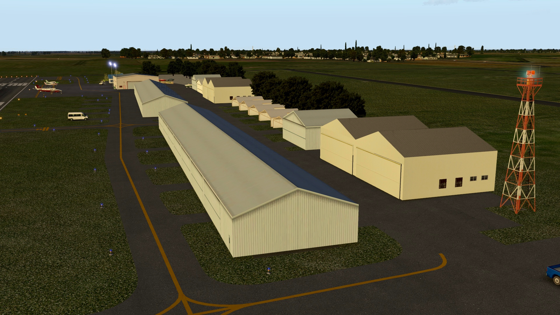
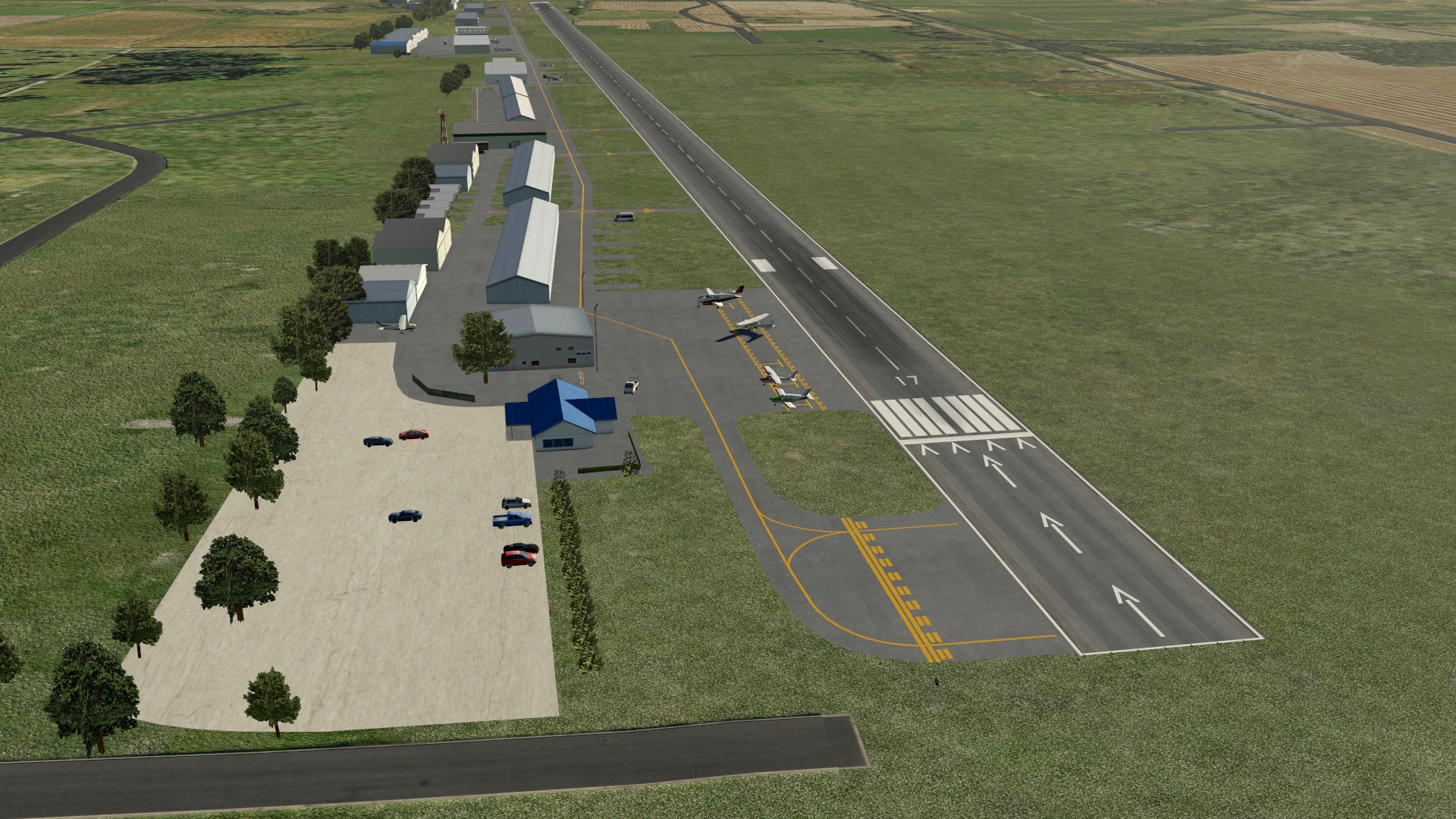
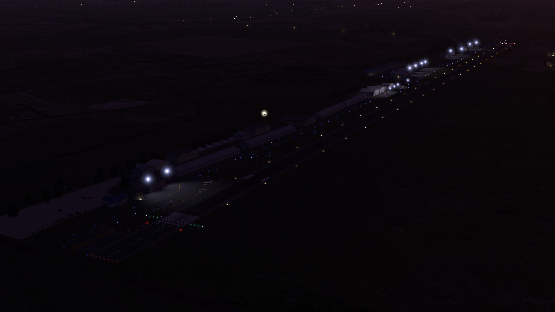
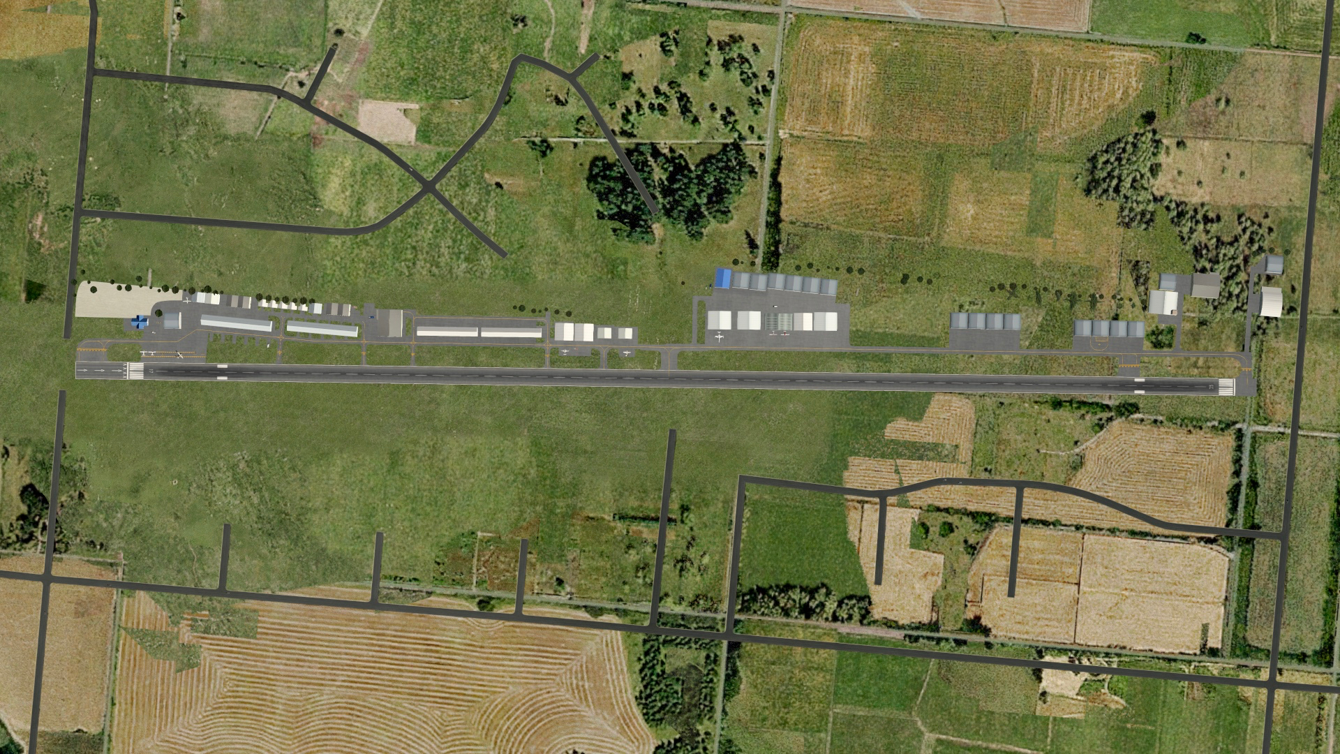
-
I updated my post on getting started with X-Plane to include something I missed: the excellent Airport Environment HD package from MisterX. It’s a bit like REX Direct runway / taxiway / ramp textures, but it’s free.
-
Note: I’ll be updating this as I make changes to my system and as the X-Plane ecosystem evolves. Updated 20 Nov. 2018.
***
As a former P3D user I am often asked “What advice do you have for others making the switch?” So I’m writing this little how-to in hopes it will help other P3D and FSX users at least get the most out of X-Plane, if not make the switch completely. So here goes. This list of steps is a version of my own experience with the switch. There are likely dozens of other possible ways to get started, but based on my experience in P3D and X-Plane, this is what I would do if I were to do it again:
- Download X-Plane, either the full package or the free beta. 11.2 is the most recent stable release, although many users (including myself) are using the 11.3 beta. While X-Plane betas are often quite stable, unless you like finding out that things may not work the way they should, stick with the current stable release. Note that X-Plane 11 is taxing on the system, at least as much as P3D, although I find it much smoother at low frame rates. But realize it’s cutting edge, and you may need to back off sliders a bit.
- Download and install alpilot’s HD or UHD Mesh Scenery V4. This is sort of the equivalent of ORBX Vector. It will increase the resolution of your terrain and will make roads, forest boundaries, towns, power lines, etc. all much more accurate in the sim. It is excellent, you can download only the areas you want, and it is donationware. (While alpilot does not have the entire world, the X-Plane 11 underlying mesh is also very good as it is, and while not as detailed, is more current.) UHD is more detailed but harder on the system, HD less so. Both are great.
- Download and install the Simeaven W2XP models and W2XP sceneries for the parts of the world in which you want to fly (note that Europe is in the X-Plane 11 section of their site, and the rest of the world in X-Plane 10 — although they work in X-Plane 11 just fine). W2XP is shorthand for “World To X-Plane,” and if HD Mesh Scenery V3 is ORBX Vector then the W2XP sceneries are the equivalent or ORBX regional landclasses, with improved textures, autogen, etc. You will download at least two files: the W2XP World Models, and any regional sceneries you want. I downloaded the models, America, and Europe. Don’t worry about the “Net” and “Aerials” versions – you only likely need the main scenery files and the models file. These files, too, are donationware. (UPDATE: If you’re going to use World2XP America, be sure you have these four libraries installed – OpenSceneryX, World Models, R2 Library, and FF Library.)
- Download MisterX’s Airport Environment HD textures. These are replacement textures for much of the default runways, tarmac, taxi lines, etc. in X-Plane. It’s a bit like REX Direct. But it’s free.
- Download MisterX’s HD Forests package. These are replacements for the default X-Plane trees, and they are more varied and look better. They are also free.
- Get some weather. There are several options:
- Use the default X-Plane clouds and weather, and XP will download real-world weather data if you enable it to do so. While X-Plane’s default weather system used to leave very much to be desired, candidly I now find it quite good and this what I use. That said, if you wish to consider options …
- Consider SkyMaxx Pro v4, which is payware and $40 US. It’s sort of an Active Sky for X-Plane, although many have found the clouds unrealistic. It also needs an injector, so you could use the NOAA plugin with it if you wanted very accurate weather data.
- Consider xEnviro, which is payware at $70 and the new guy on the block for sky textures, clouds, and weather injection. I used this for long time and was very happy with it, but the most recent version does not yet work in VR so I am using default weather. I thought it was a very good package. Downsides are that it does not let you set your own weather, so if you want to set a particular situation you are left with X-Plane default clouds (although it does have a “make it clear” setting if you need things to be clear for a while.) But it is under ongoing development, and it improves with each release. I though it was every bit as good as Active Sky Next if not quite AS16/ASCA.
- Consider Ultra Weather XP. A lot of users consider this the best package going for X-Plane at the moment, although I’ve not used it. It looks great, though.
- Consider adding different cloud textures and sky textures from the many free alternatives available at X-Plane.org. Just use the search function there and you’ll find lots of free options. Adding them is as easy as dragging the new files into the appropriate X-Plane folder (but backup your originals first by renaming them).
- Get some scenery. One place where P3D and FSX users will be surprised is the relative lack of localized scenery in X-Plane (and this is part of the 10% I noted above), although the X-Plane scenery ecosystem is growing so quickly I no longer find myself wanting for scenery. While X-Plane has about every airport in the world, some are just 2D with no buildings, and many cities also lack much of the custom building models that come with FSX and P3D (although Laminar is now including pretty awesome scenery for Las Vegas, Chicago, London, Sydney, and Dubai and others are on the roadmap). The good news is that there is a MASSIVE online community that has designed scenery with which to fill the world, and most of it is free. Here’s my advice:
- Download the free Prefab airports package. It will fill up 25,000 (yes, 25,000) airports with basic terminals, aircraft, etc. from one of over 30 layouts and make the world far less barren.
- Do a Google search for any airport you might want appended with “X-Plane” (for example, “KMQS X-Plane“), and it will pull up options for you. You can also search the scenery library at X-Plane.org. Pay particular attention to anything by MisterX, as his airports are excellent (like KSAN … again, free).
- For even more quality stuff, get some payware.
- ORBX is now developing for X-Plane, and their stuff is predictably great. While their airport library is just getting started, they have released True Earth for Great Britain South, and it is simply spectacular with more regions to come.
- Make your own airports! The free WorldEditor (WED to X-Plane folks) program is easy to learn and it’s fun to make your own airport scenery. There are plenty of how-tos on the Web to get you started.
- Try some orthographic scenery. If you want to fly in the US, the ongoing US Orthophotos Scenery Project is a great place to start. The download process can take a while, but the result is high quality, color-corrected, photorealistic scenery with very high resolution terrain mesh underneath. This is a labor of love for a member of the X-Plane community, and it’s free (although please consider making a donation should you use it.
- Make your own orthographic scenery. This may be one of the best things about X-Plane. With Ortho4XP you can make your own orthographic scenery for X-Plane, for any area in the world, for free. There are many “how to” videos online for how to do this at YouTube, and honestly, the first time you make it and use it you are left shaking your head, in part because (unlike FSX and P3D), X-Plane places autogen objects, roads, etc. on top of orthographic scenery. The visual result is stunning and you never have to fly over default scenery textures again. Highly recommended.
- Read this primer on scenery ordering so things layer in the correct sequence in your sim after you’ve added your new goodies.
- Get some airplanes. The big makers (like Carenado) make airplanes for X-Plane, and they look and work great. The good news is that X-Plane 11 ships with several great default aircraft, including jets, gliders, a C-172 (which is excellent) and two twins. The community has also made hundreds of others which you can find at X-Plane.org, and about everyone I’ve asked says the Airfoil Labs C172 SP is the most accurate GA airplane available for flight sim, anywhere, on any platform (including A2A’s 172). Another option for study-level GA aircraft are the SimCoder’s Reality Expansion Packs, which I’ve found worth every penny, and the Zibo 737, which is free.
- AI aircraft. Part of my 10%. Default AI aircraft in X-Plane is limited and not nearly as good as in FSX or P3d. But World Traffic does a great job, and will fill your skies with GA and commercial air traffic (including traffic based on real-world schedules).
- ATC. Traditionally X-Plane ATC has been not nearly as good as in FSX and X-Plane, but in the 11.3 beta it is quite promising and will only get better. When I want ATC I fly on PilotEdge, which is wonderful as it is real-world quality. And with the new Western Expansion, it’s better than ever. If I want ATC that is not default and not PilotEdge, I have used Pilot2ATC, which I think has great potential and many users say is excellent after you have done the voice training (it reads your voice when you use the push-to-talk switch). And if you download some other voices for Microsoft Windows (available from voice software makers), there’s variety in the voices as well.
- Spend time at X-Plane.org. It’s a great resource, and the X-Plane community is extremely welcoming, friendly, and charitable. It’s a great group and a great way to learn.
So that’s the long version. The short version is:
- Download the latest stable version of X-Plane (or beta if you wish).
- Download HD or UHD Mesh V4 for the parts of the world you want.
- Download Simheaven W2XP models and sceneries for the regions of the world you want.
- Download Airport Environment HD.
- Download MisterX’s HD Forests package.
- Read the primer on scenery ordering.
- Try the default weather, and if you don’t like it, consider other options per above (but I think you will be pleased with default).
- Get the Prefab airports package and MisterX airports (and any other airports you might want).
- Stick with the default airplanes for now.
- Have fun, and quickly forget what it was like to play with .CFG files.
- Bonus step: Download some ortho scenery from the US Orthophotos Scenery Project, and then REALLY be impressed.
A final few words on scenery. First, I know that coming from P3D and FSX some of this seems like a foreign language. This primer on scenery at AVSIM is very informative and will help you learn how things work in X-Plane.
So I hope this helps. I’ve loved X-Plane, and the one time I loaded P3D since I downloaded XP-11 I was left thinking, “Boy, I don’t miss this.” I don’t know if X-Plane 11 is for ever P3D and FSX user (in fact, I’m certain it’s not), but it is for me. It’s fast, stable, looks great, has very realistic flight modeling, and is supported by a massive community of people working together to improve it. I’m sold, and if you decide to try it out, I hope you enjoy it, too.
-
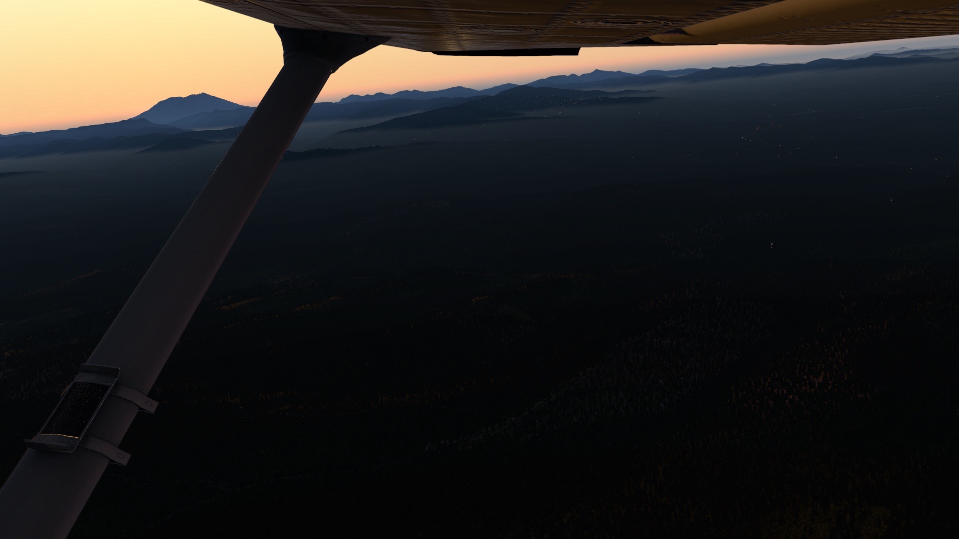
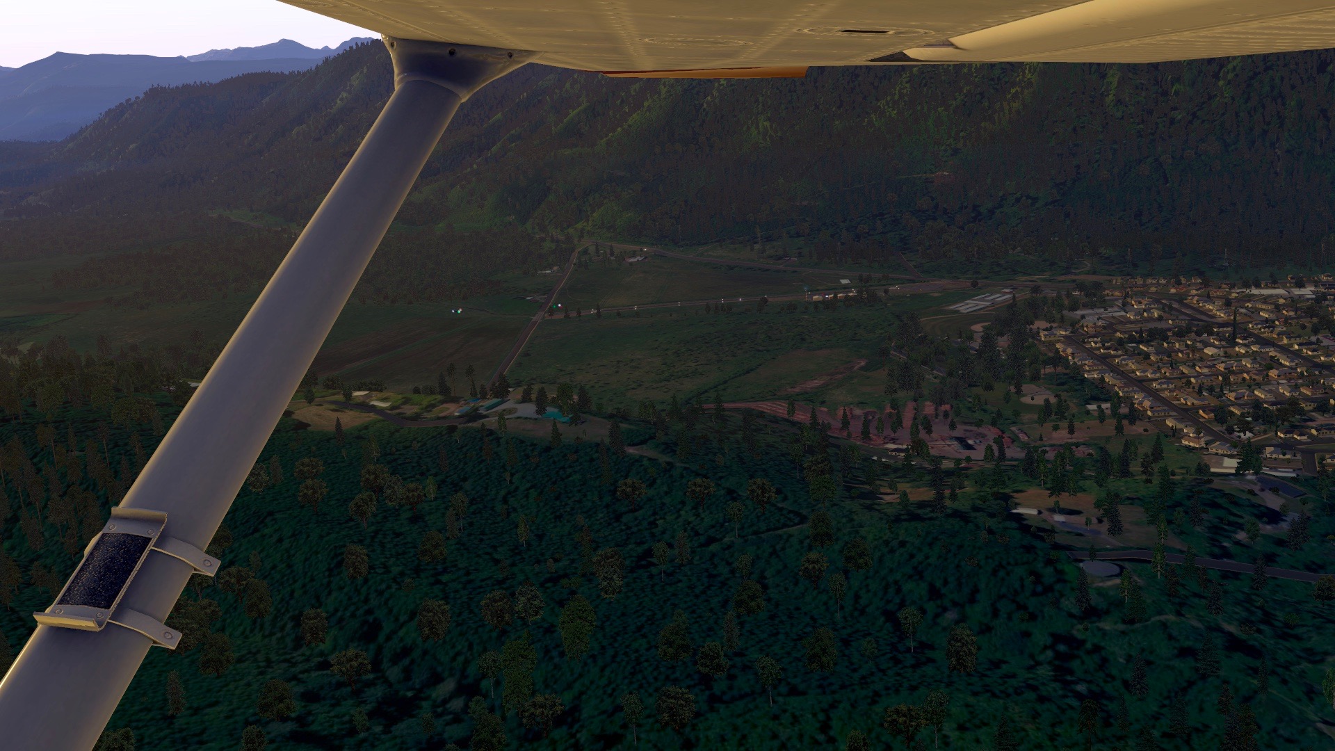
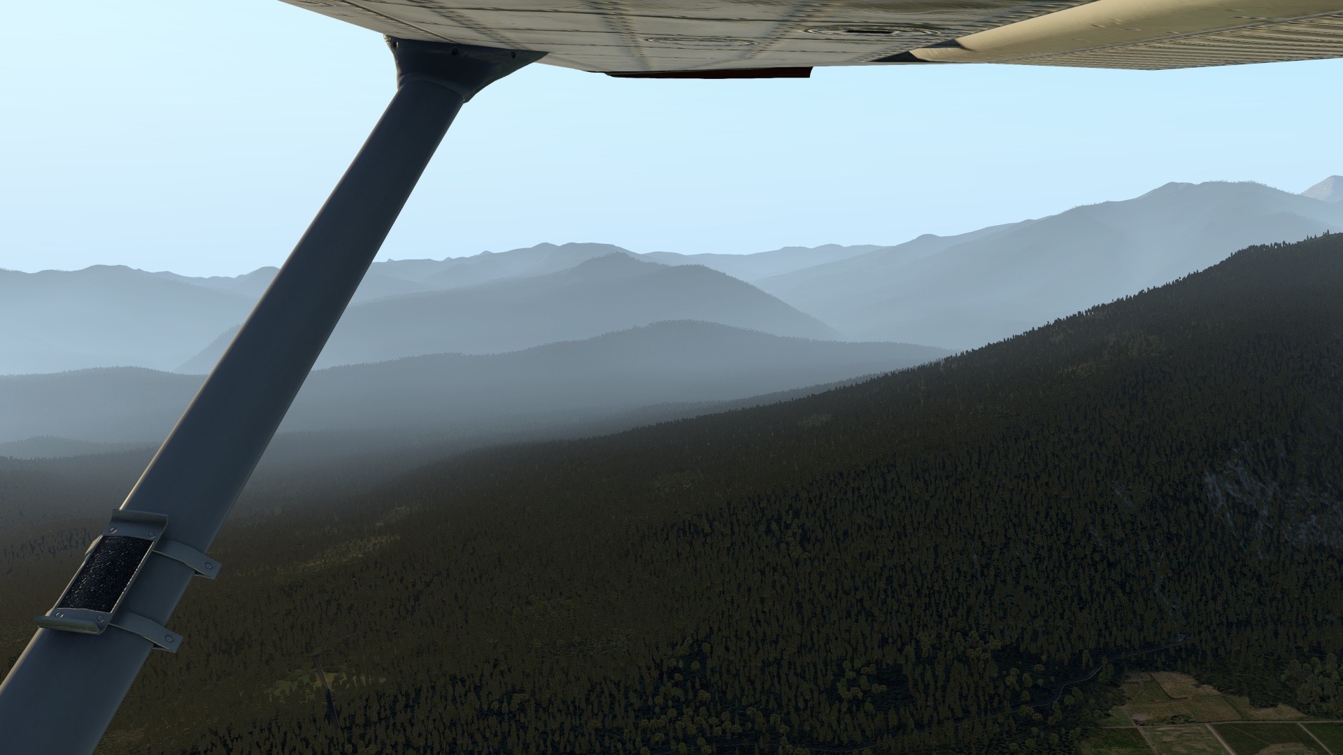
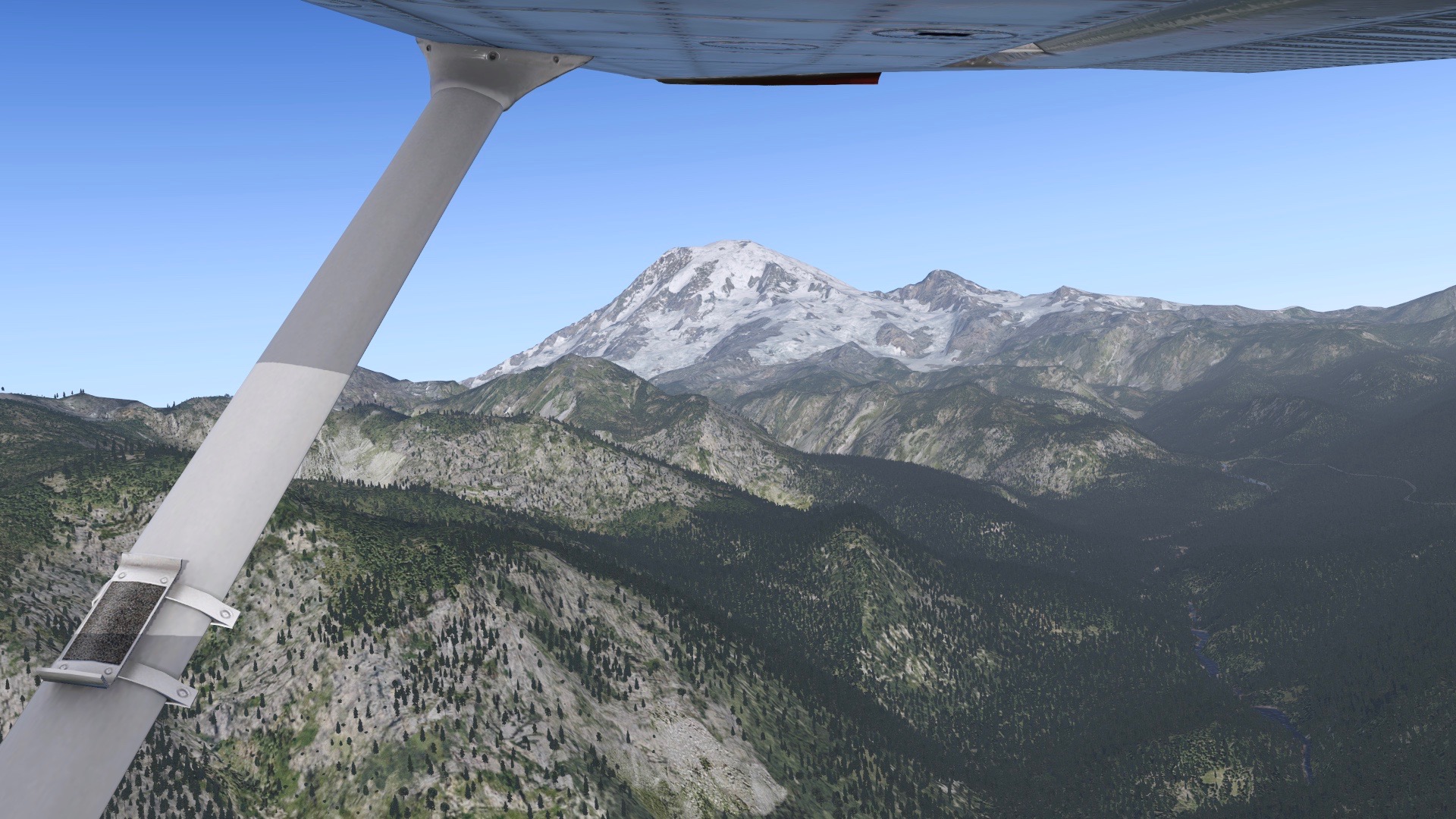
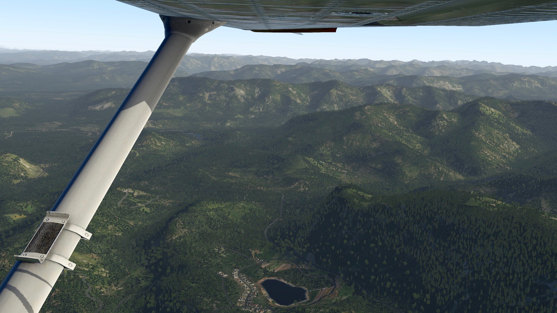
As in “After hours Closed Traffic,” which is a group of guys who have been flying on PE Saturday mornings (US) from non-towered fields for practice, and then finishing at a towered field with the controllers once they’re online. Today we took advantage of the Western Expansion, flying a number of short mountain fields before finishing at KSEA. Here are some shots showing what XP11 and xEnviro can do when combined with photorealistic scenery (that first one looks almost real).
-
In my real-world flight training I have a cross country coming up from KOQN to KMDT and back. A few mornings back I pulled out the charts, flight planner, and E6B flight computer and planned the flight using real-world weather, and then flew it in the sim with only paper charts and my flight log. Here’s the flight, and for simmers looking to learn more about VFR and VOR navigation it should be of some interest as well. As always, thanks for watching.
-
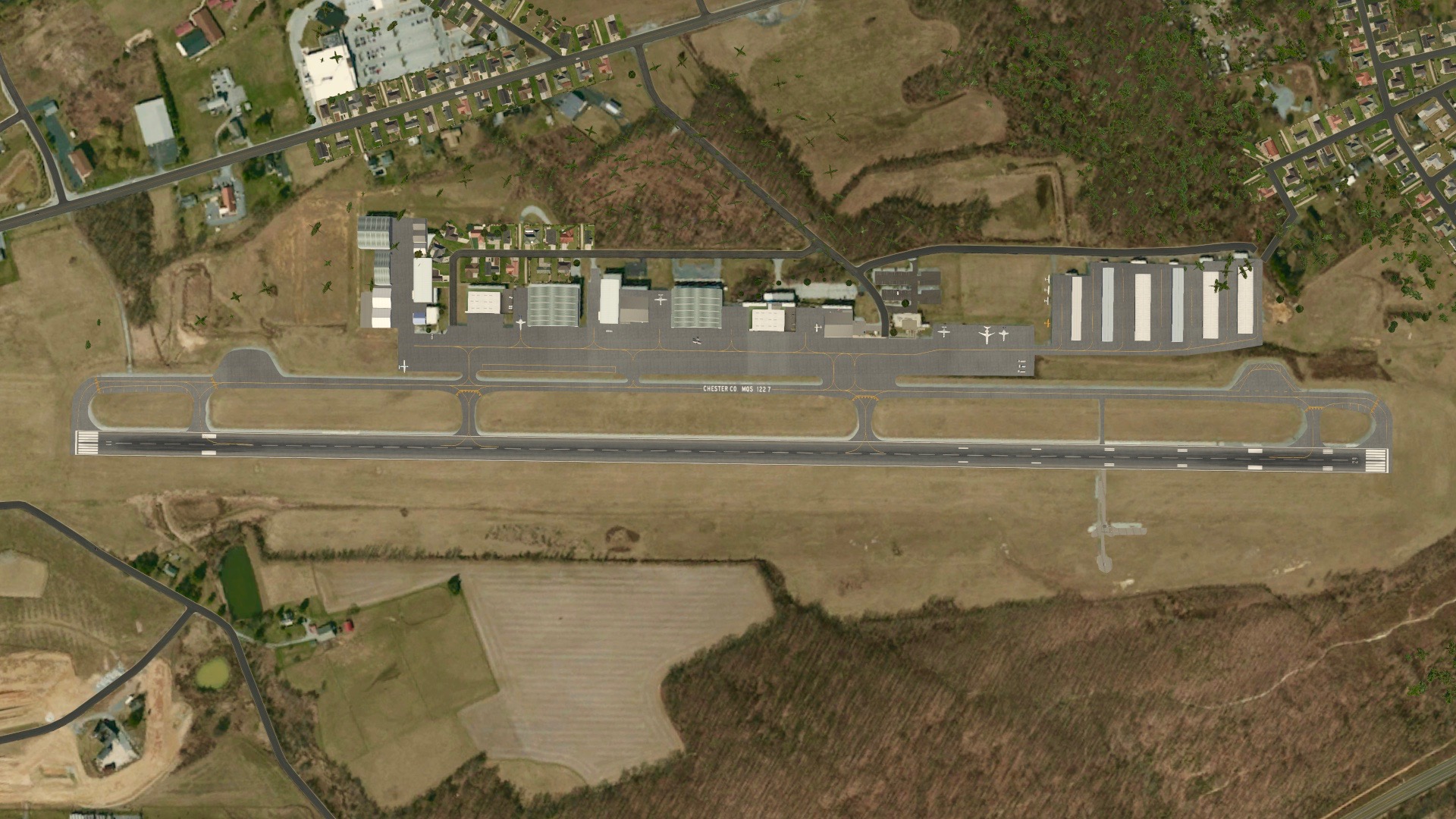
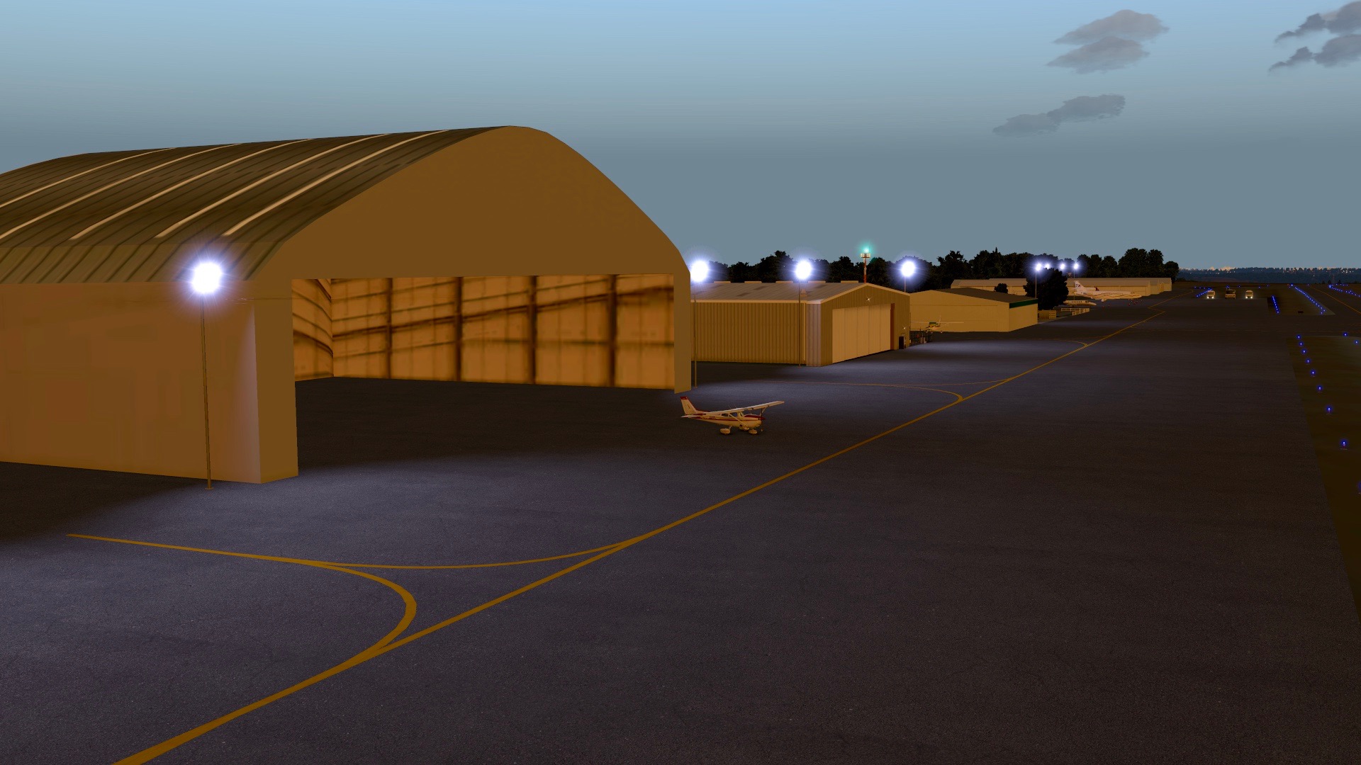
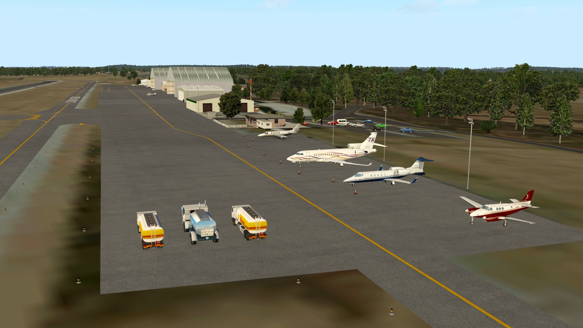
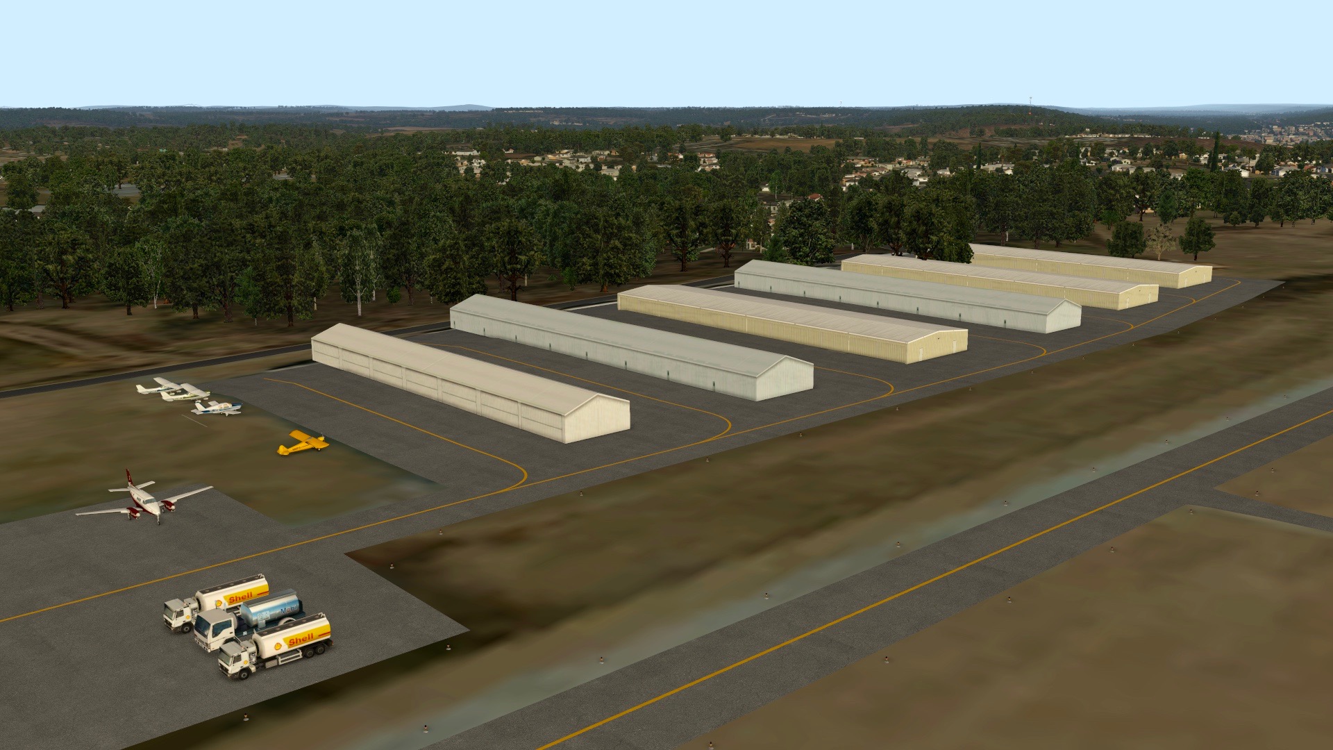
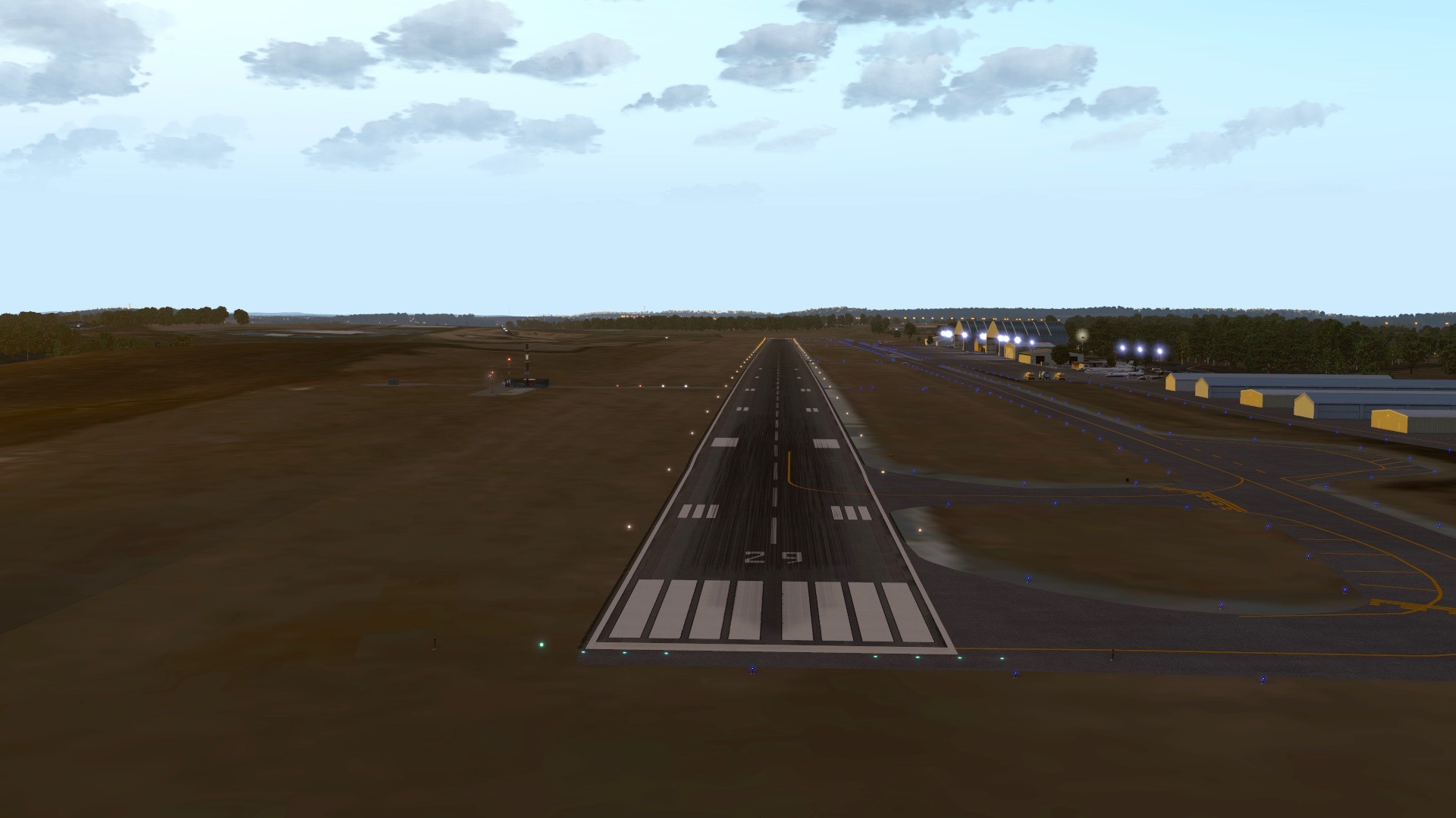
At a reader’s request I’ve designed a second custom airport for X-Plane, KMQS Chester County. Chester is a local field where I’ve done pattern work, and I think it turned out well as a second attempt at scenery design. You may visit the download page here if you’d like to grab it.
-
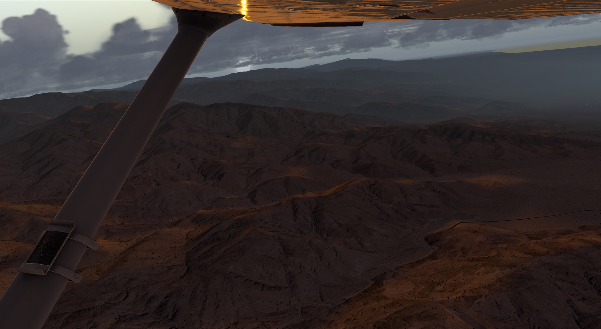
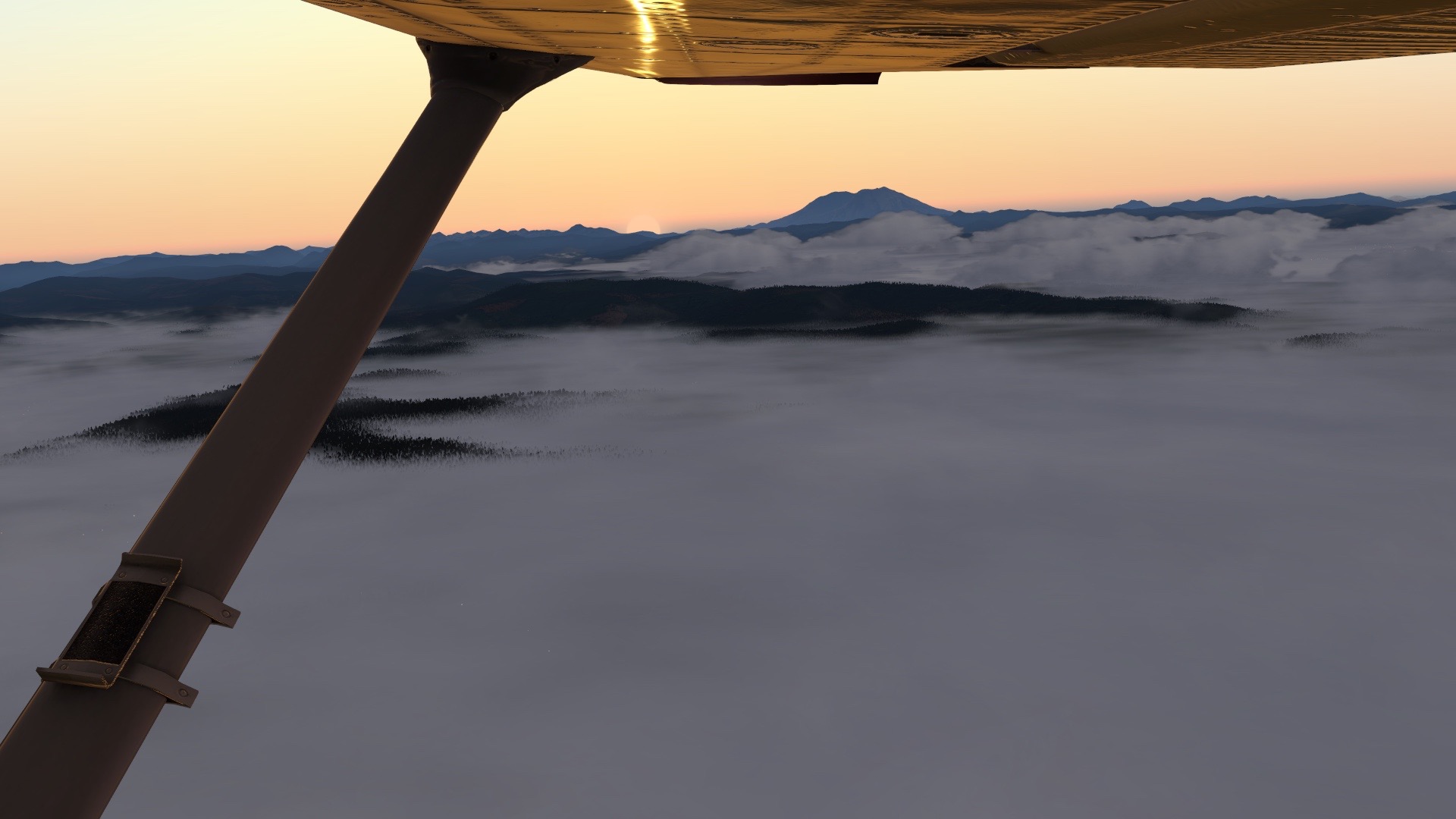
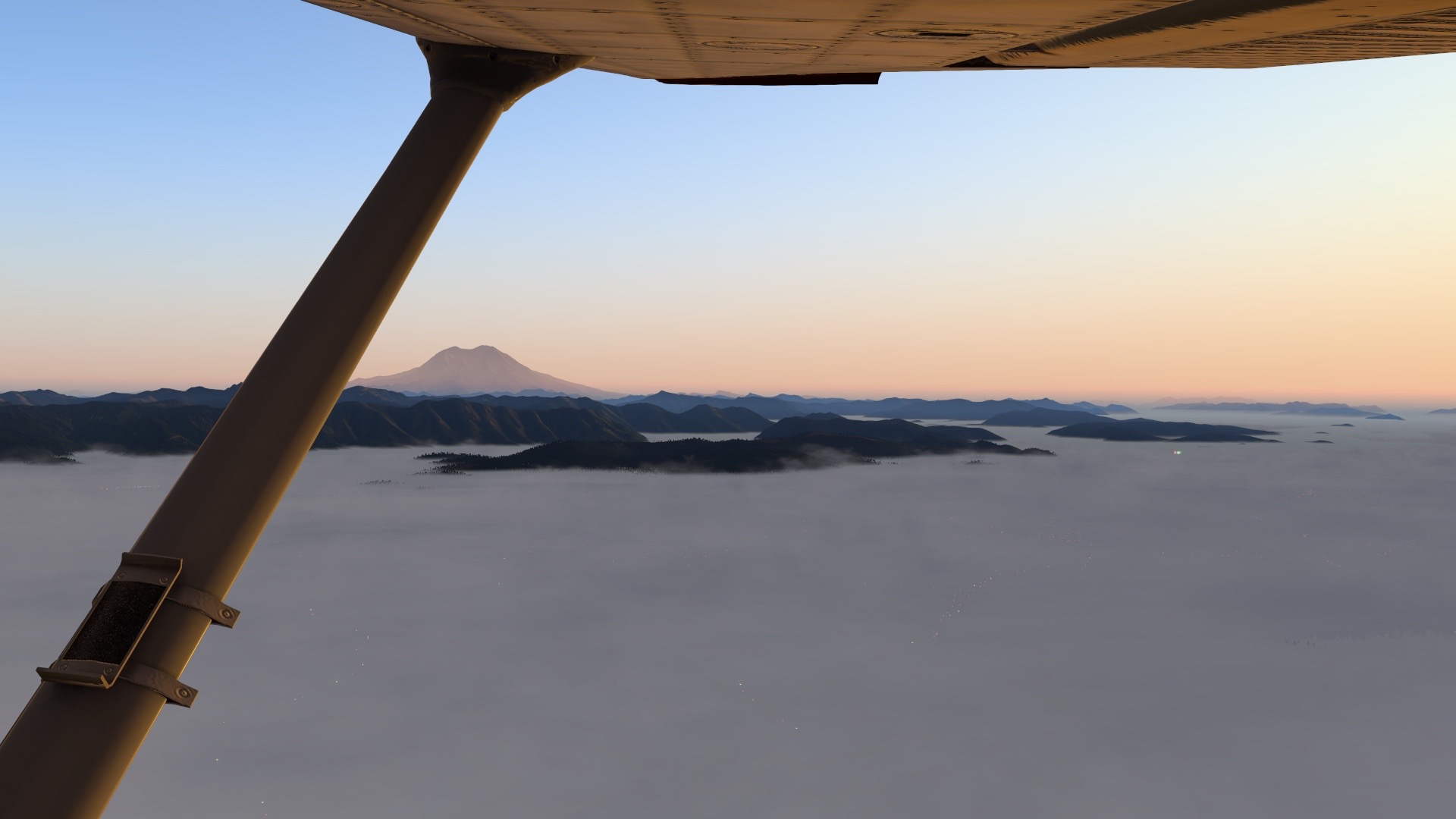
X-Plane 11 sure can take them. Note the reflection of the sunrise on the underside of the wing.
 \
\
You must be logged in to post a comment.