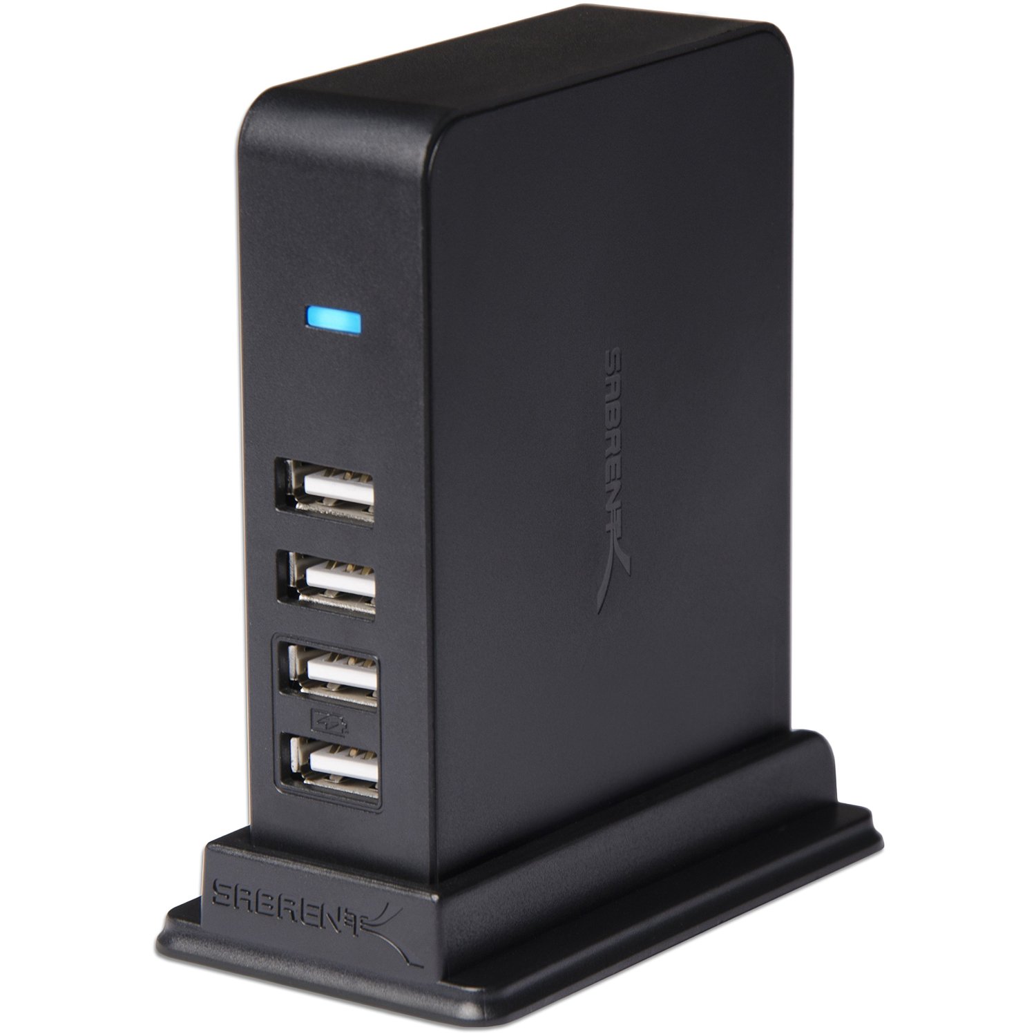
I’ve been getting some questions about which USB hubs I use. I have several of the “Sabrent 7 Port USB 2.0 HUB + 2 Charging Ports with 5V/4A Power Adapter (HB-UST9)” hubs. They work fine, have charging ports as well as data ports, and you can attach them to the panel base with Velcro tape. Remember not to attach more that four devices at a time or you’ll get unreliable results (assume each device needs 500mA of power). They are here on Amazon.
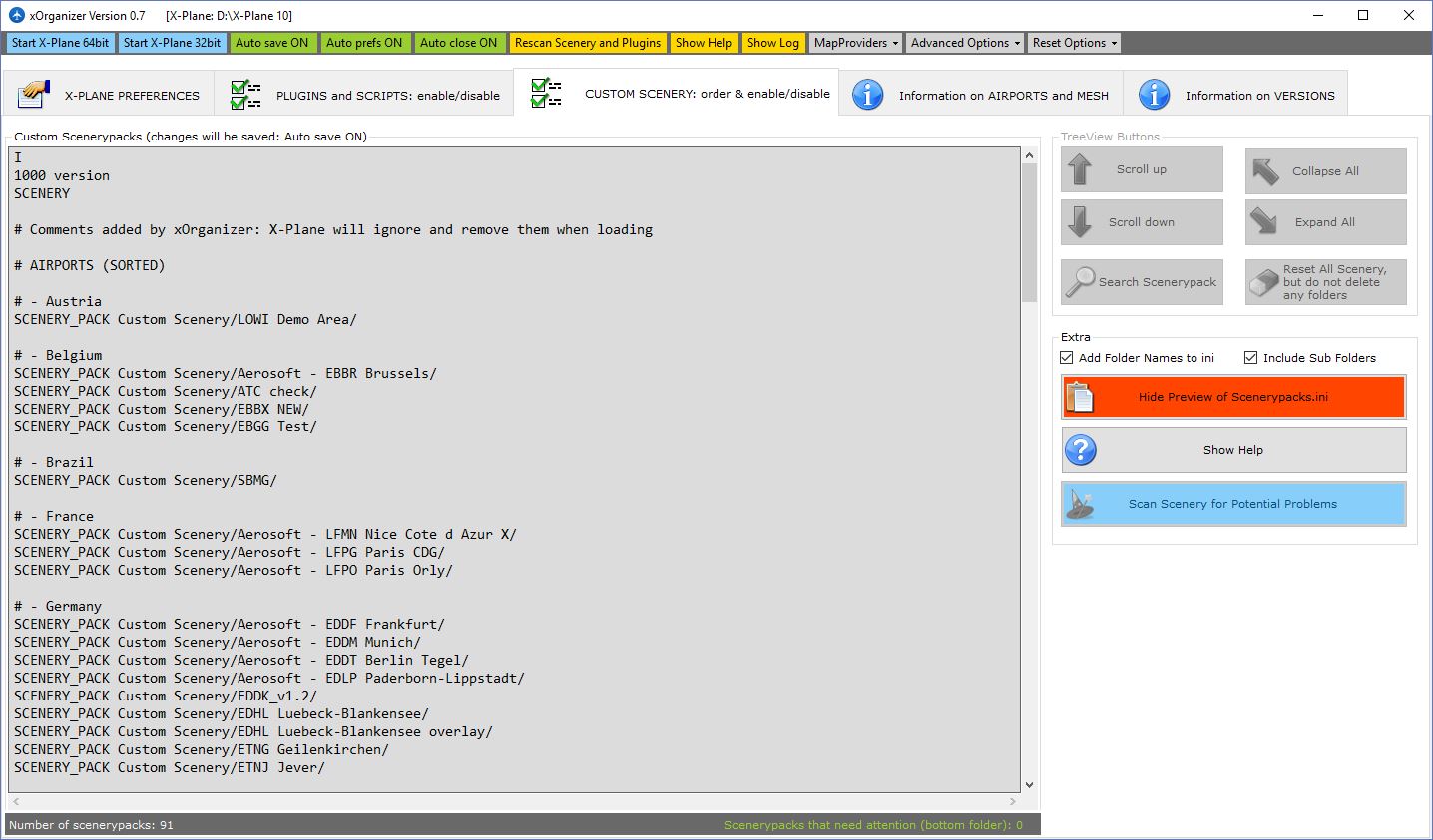
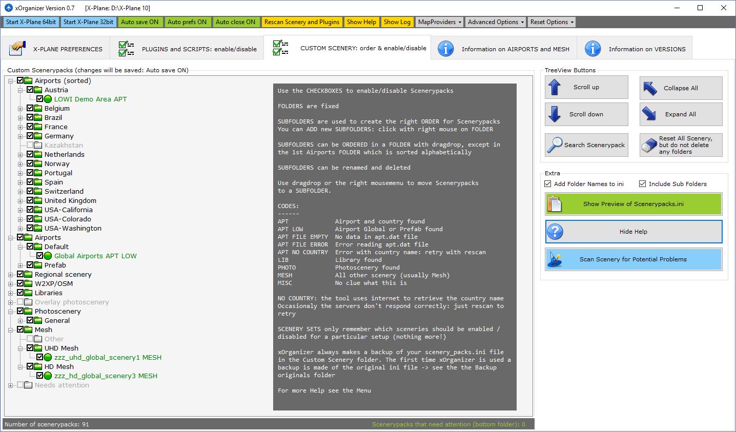
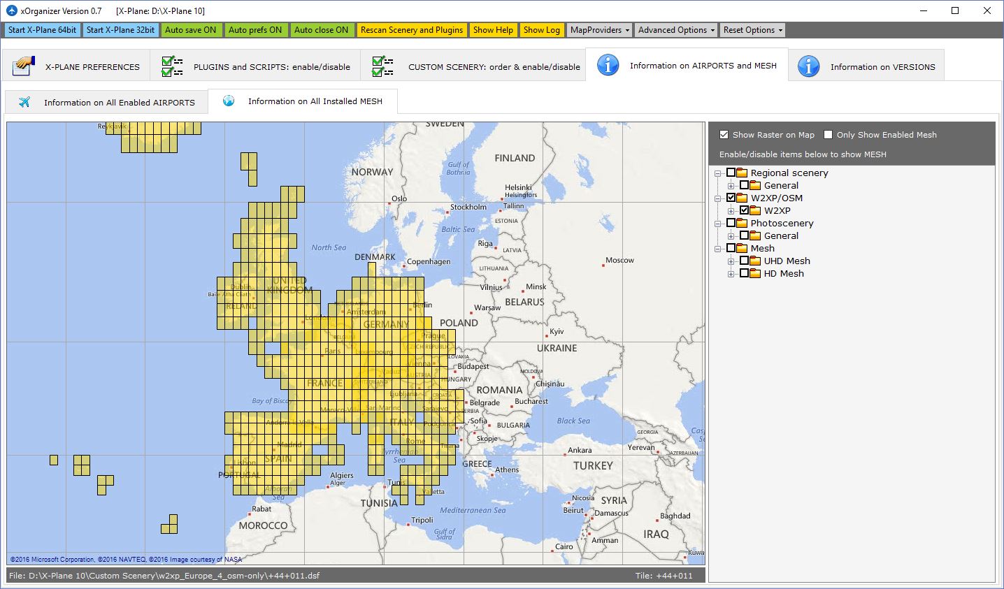
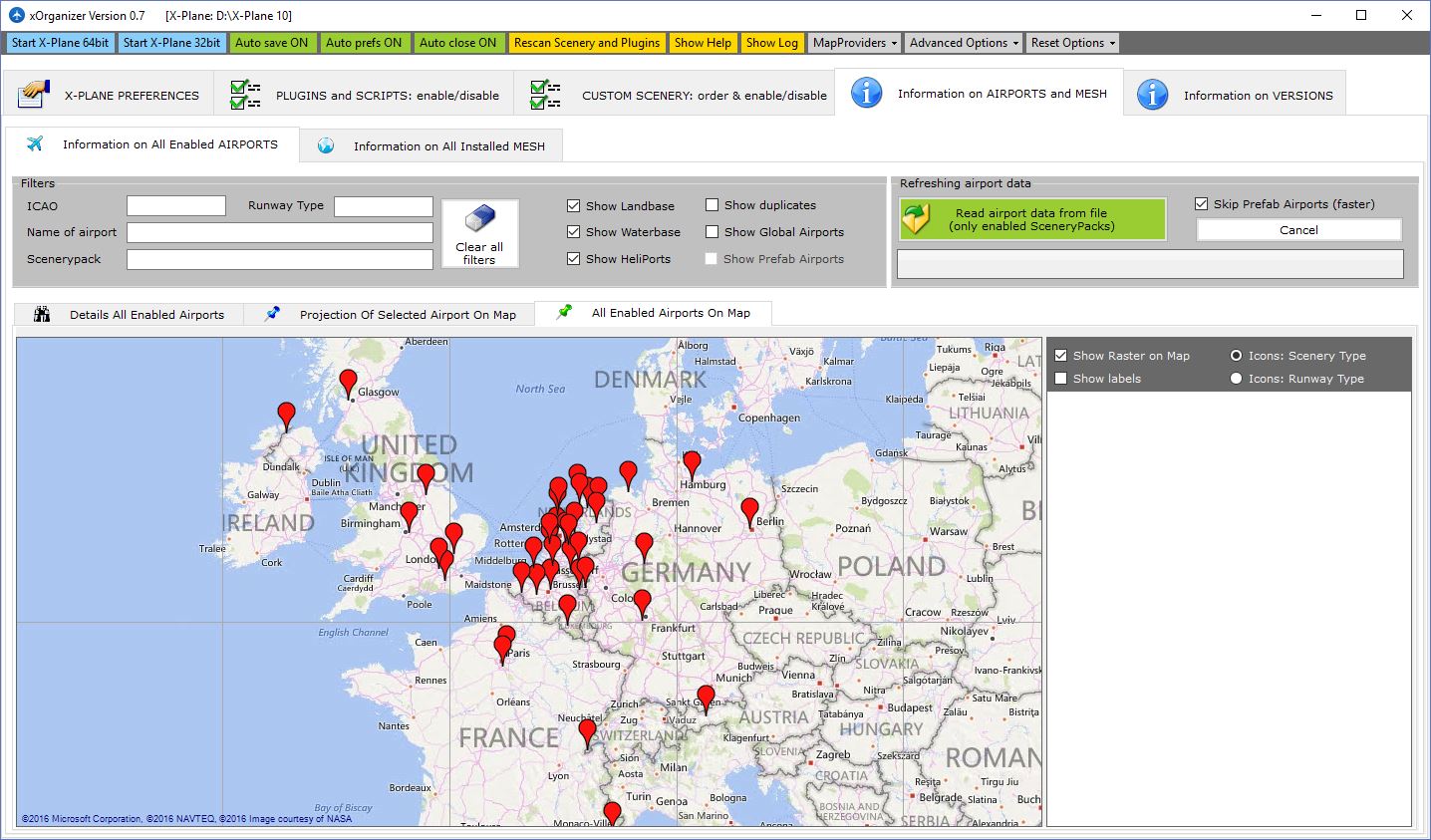
As I’ve been downloading more ortho scenery to my X-Plane library I started needing a map of what tiles I’d downloaded so I could focus on areas where I really want to fly and not duplicate efforts. I couldn’t find a simple solution to this, so I started making my own map, when I got a tip in the .Org forums to check out xOrganizer. It’s a Windows utility that tracks all your custom scenery, LUA plugins, mesh, libraries, overlays, ortho scenery, airports and more. It also shows your scenery on a map, scans for duplicates, allows you to activate or deactivate scenery and plugins with a click — and perhaps best of all — automatically organizes your scenery config file so the order is appropriate (and tidy). It’s a great utility, and like so much in the X-Plane world, it’s free. You can get it here.
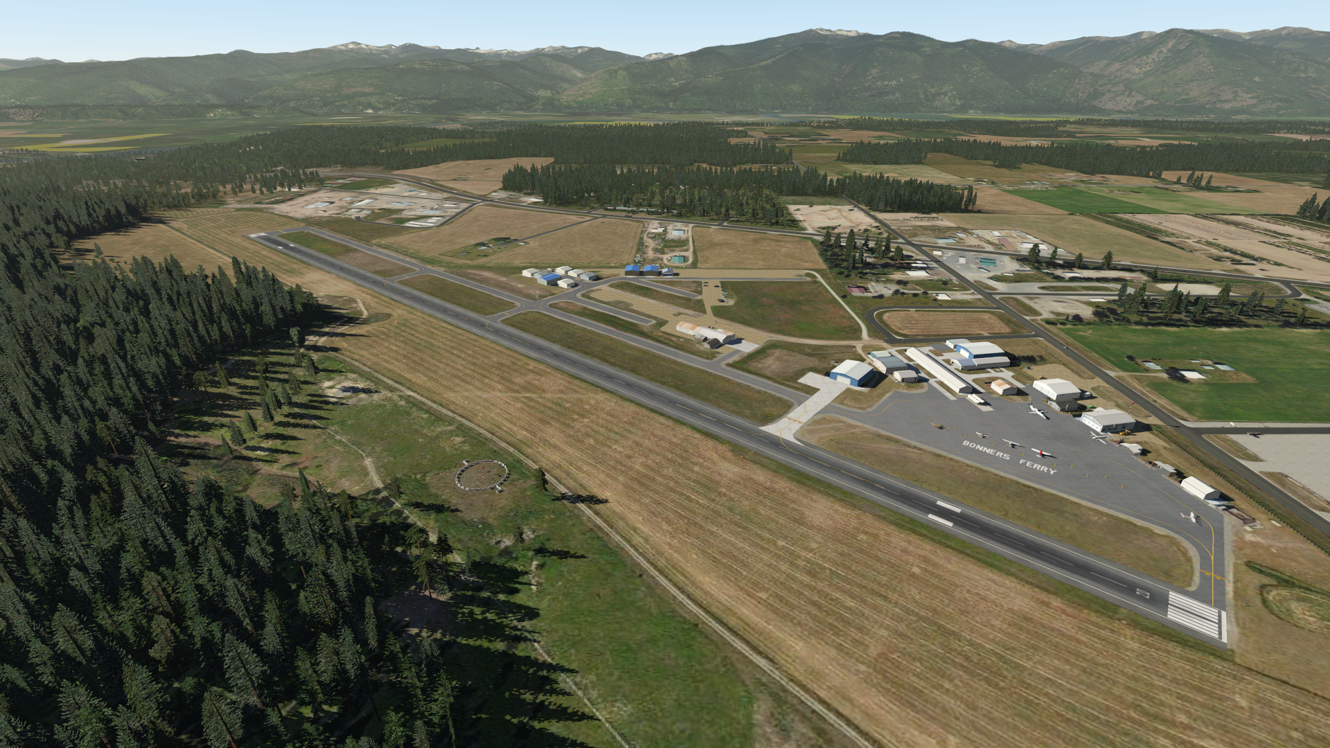
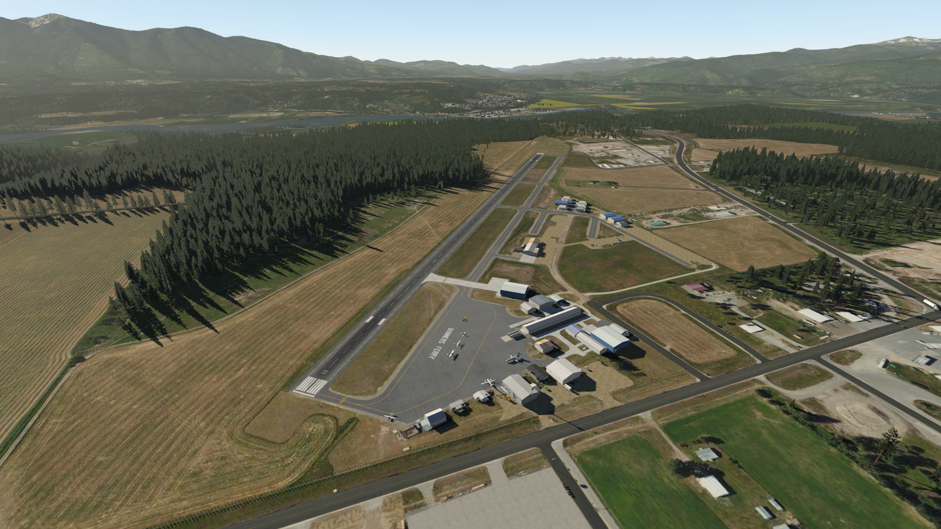
A reader / viewer recently asked if I’d consider doing a comparison flight of the sim in P3D and X-Plane 11, and I was happy to do so. This video is only meant to illustrate the two platforms, both of which are excellent and both of which I enjoy very much, so make of it what you will. In the video we do back-to-back laps of Bonners Ferry (65S), which I picked because it illustrates about the best setup my rig can do.
The P3D setup:
– Prepar3D v 3.4
– ORBX Northern Rockies Region
– ORBX NA Landclass
– ORBX Vector (nearly everything on)
– ORBX HD Trees
– ORBX Global Airports
– A2A Cessna 172
The X-Plane setup:
– X-Plane 11 beta 8
– Photorealistic scenery (freeware, made by me)
– HD Mesh 3 (freeware)
– World2XP North America (freeware)
– 65S Bonners Ferry (freeware, made by yours truly)
The settings in both are maxed out for autogen, although X-Plane has shadows ON and P3D had shadows OFF. Real world weather is OFF because it was raining and snowing in Bonners Ferry (although you see me play with it in the XP flight). Also note that X-Plane does not appear in my cockpit as washed out as it seems here, although it does simlulate the flat light of a high latitude differently that P3D, so it’s not as saturated. The GoPro did its best to get the f-stop right but the dark cabin makes the projection screen a bit over-exposed.
Finally, and perhaps most exciting, I also have an engine out in X-Plane at the end of the flight (!), so that lap ends a bit sooner (I’ll keep you in suspense regarding if I make it back to the strip or not :-).
A few months back I replaced my Saitek Switch Panel with the 1015 Cessna Combo Panel from Desktop Aviator. It’s a great product, very much like the real thing, and one of the best units I’ve bought for the sim. Here’s a short video review, and thanks to Bob at Desktop Aviator for making such a great unit.
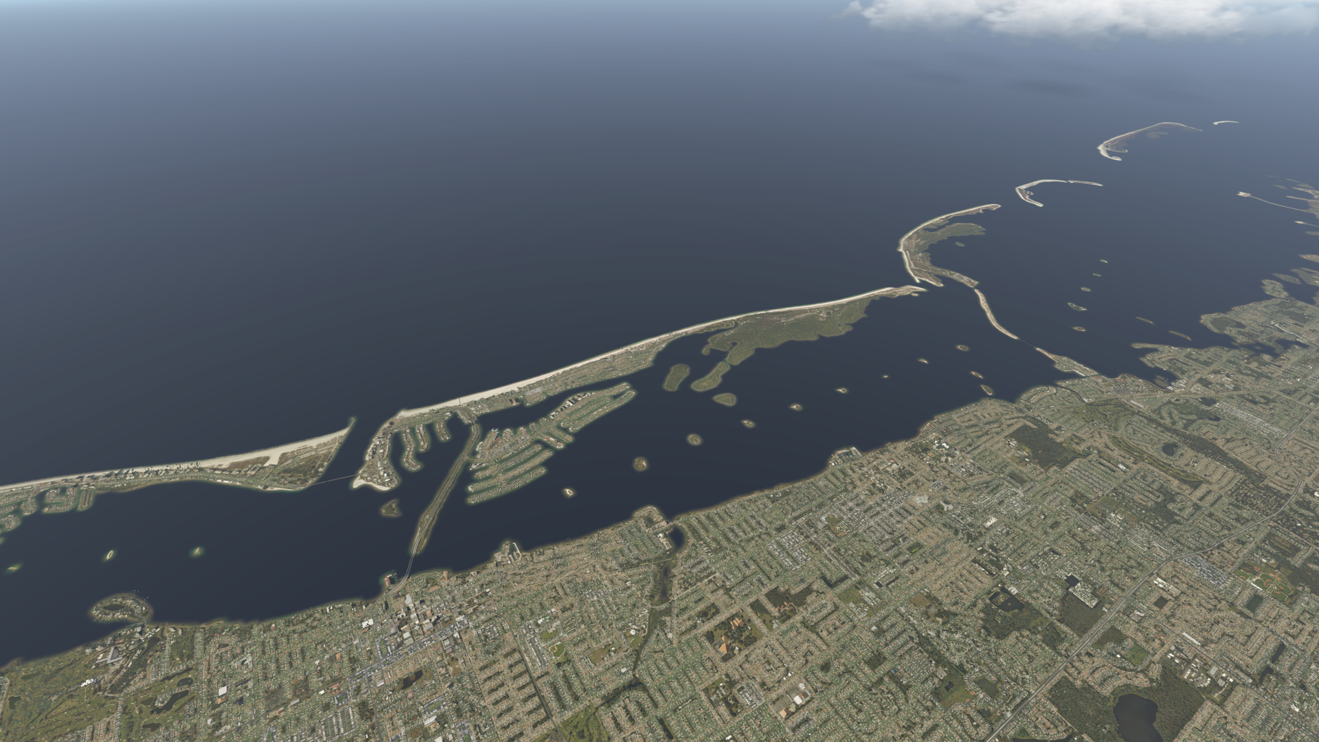
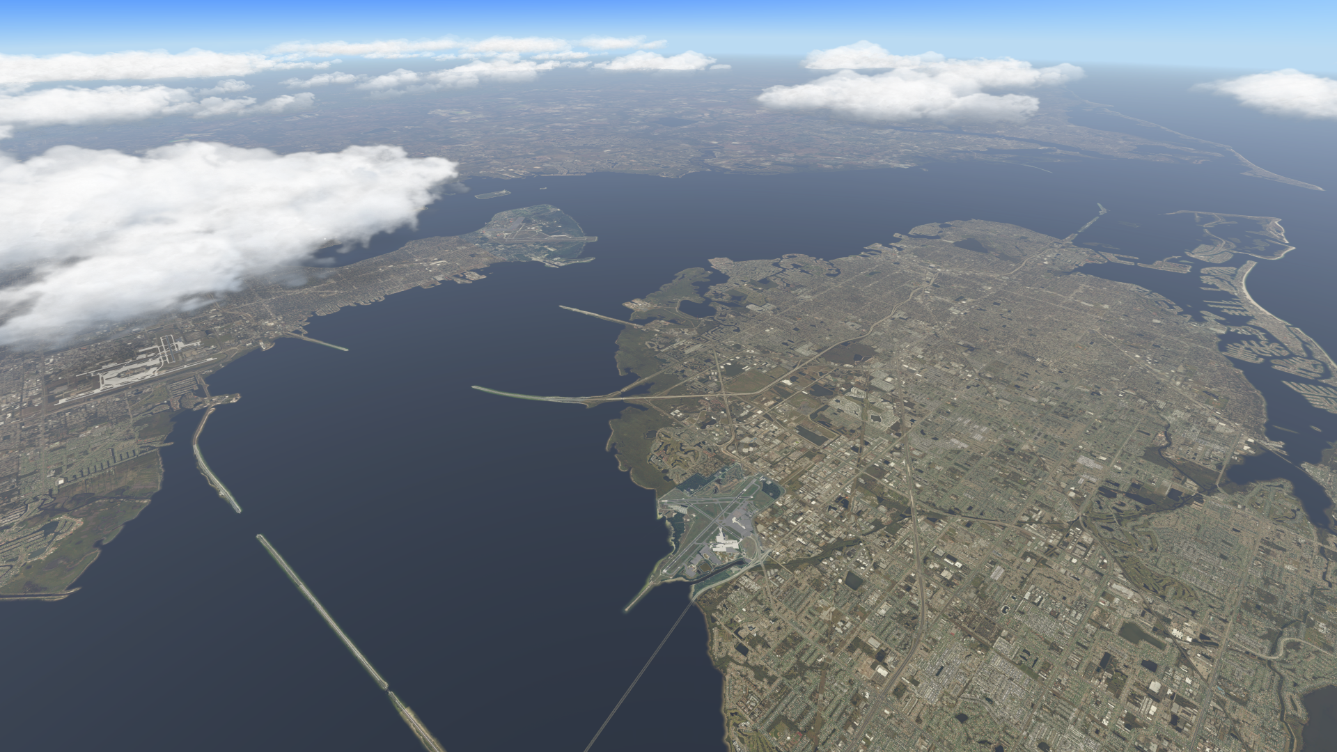
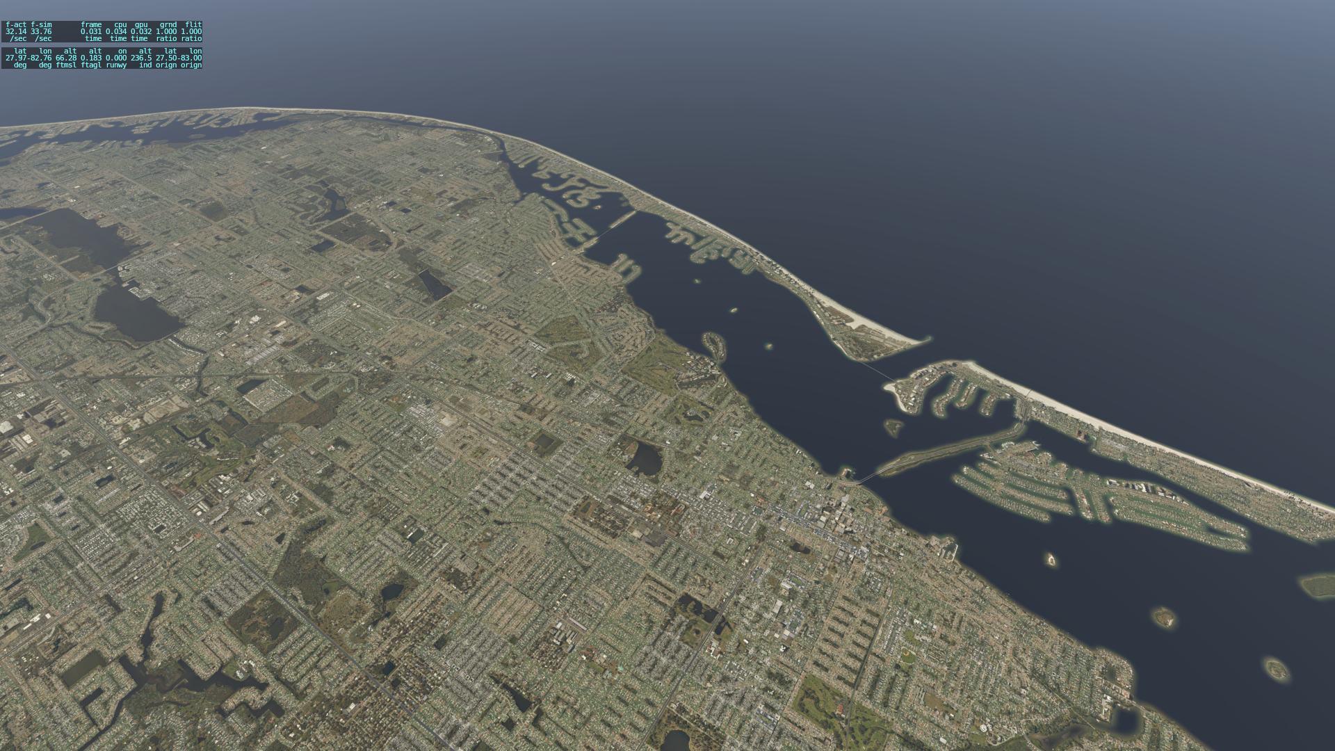
Readers know that I was lucky to be gifted a pretty big set of photorealistic ortho scenery for X-Plane. It covers a nice part of the West where I like to use the sim, but I also enjoy the Tampa area and didn’t have scenery for that part of the world. So today I downloaded Ortho4XP and generated my first two tiles, covering the greater Tampa area. I downloaded the Ortho4XP files from the creator here, followed the instructions in this brief video (and there is more information here if you need it), and that was all there was to it. It took about five minutes to get installed and running, and about 10 minutes per tile (but I do have a fast connection). Here are some screen grabs showing the results, and note that this is zoom level 17. With this process being so easy, there is absolutely no reason for X-Plane users to not be creating and enjoying photorealistic scenery for any part of the world in which they wish to fly. And best of all, it’s FREE.
Clearwater Beach NorthTampa Bay & St. PeteClearwater Area SouthLow & Slow Over Clearwater
I just found this post at the REX forums that suggests they are considering a product for X-Plane 11. While I have enjoyed xEnviro, and consider it a huge upgrade to X-Plane’s default weather engine, I’ve found the METAR data spotty and it is still (and in fairness to those devs, who have been great) very much a platform in development. In P3D I was a huge fan of REX Direct’s work, and would love to see them produce a cloud or weather product for X-Plane.
REX guys … if you’re reading this: name the price and the entire XP world will follow. And if you’d like a beta tester, let me know.
The latest leg in my Alphabet Challenge flights on PilotEdge: KRAL to KSAN. Based on few viewer requests, this is a full flight with no edits and runs about an hour in length. It’s also over orthophoto scenery, so the view is nice. Pop some popcorn or pour a drink and enjoy the flight.

You must be logged in to post a comment.